Ramps and stairs
Site planning
Best practice guidance for site planning
Decision framework
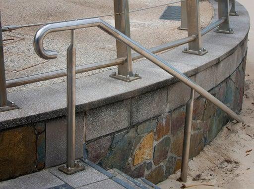
Ramps and stairs may form part of a continuous path of travel designed in accordance with AS 1428.1:2009 Design for access and mobility – General requirements for access – New building.
There are a range of Australian Standards/best practice guidelines, relating to this category. Key documents are referenced throughout and in the LIM Ramps and stairs - Standards.
Site decisions
All decisions, including the location of the embellishment and related infrastructure, must be made in conjunction with council (determined by site location), including officers from such areas as:
- Council (Parks and Gardens)
- Council (Environmental Operations)
Users
Consult with council stakeholders, neighbouring properties and identified park users in the planning stage of a project.
Site conditions
Consider the physical characteristics of a site and requirements of the activities conducted:
- location of utilities
- well drained site
- flood immunity requirements.
Co-location of facilities
- Facilities, including parking and pathways, are often already established and need to be considered in the overall design.
- Include connecting pathways for universal access.
Safety
- Safety clearances must be met.
- Adopt principles of Crime Prevention Through Environmental Design (CPTED) Guidelines for Queensland. Locate ramps and stairs to allow users to feel safe, and to provide an opportunity for casual surveillance.
Potential site conflicts
Locate ramps and stairs away from:
- High use bikeways, busy roads and steep slopes, to avoid accidents.
- Avoid interfering with other open space uses. Ramps and stairs installed too close to the edge of pathways will interrupt the free flow of pedestrian/cyclist traffic.
- Hazards such as waterways, fire and flood prone areas, sewers and stormwater drains, underground services, power poles and overhead power lines.
Planning for sustainability
Refer Design principles – Sustainability for guidance.
Planning for future works
- Co-locate embellishments requiring similar services e.g. water, to reduce infrastructure, where possible.
- Where underground utilities are installed, set brass markers to concrete slab edges to indicate the location.
- Consider installation of additional conduits under concrete slabs for future provision, where utilities (e.g. electrical, water) and irrigation systems are planned. Ensure additional conduit is capped to prevent ingress of water and debris.
- Consider climate change impacts on the embellishment location and construction 1.
- In coastal areas, or near waterways, design should consider rise in sea level predictions, storm tide, salt inundation and severe storm events.
- Positioning should also consider flooding, seasonal/ephemeral water bodies and water table changes.
- Near bushland areas, design should consider the occurrence of bushfires.
Source 1: Sunshine Coast Environment and Liveability Strategy 2017.
This component is currently in development