Water sensitive urban design (WSUD)
Appendix A
Additional supporting information
Council strategic documents and guidelines
It is recommended that the following documents be read in conjunction with this LIM category.
The following document extracts are Sunshine Coast Council strategic documents, confined to topics which relate to, or have an impact upon Water Sensitive Urban Design (WSUD).
Environment Liveability Strategy (ELS) 2017
Sunshine Coast Environment and Liveability Strategy (ELS)
The ELS contains the DSS for open space and provides a guide to what type of park/reserves are suitable for the various categories of embellishment.

Sunshine Coast Environment and Liveability Strategy (ELS)
text/html
The strategy sets strategic policy directions and targets to guide council and its partners, to ensure a healthy environment and liveable Sunshine Coast to 2041:
Sets clear and integrated strategic directions necessary for a healthy environment and liveable Sunshine Coast in 2041. It contains background information, a vision, guiding principles and three interdependent sections which include a suite of themes to shape and support growth over the next 25 years. Such as (but not limited to):
- Land for open space purposes must not be compromised by utility functions and infrastructure.
- The natural environment: preserving and valuing landscape and character, biodiversity, waterways and wetlands (including their buffers) and coastal environments.
- Flooding and stormwater: managing flood risk.
Stormwater treatment to protect receiving waters: engineered structures - gross pollutant traps (GPTs), more natural structures - wetlands, bio-retention basins.
Provides an integrated and targeted approach, and explains how council's contributions to the strategic directions will be implemented and delivered. It is intended that the plan will be updated annually to retain its relevance and maintain a current five-year implementation horizon. Such as (but not limited to):
- Rivers, streams, estuaries, waterbodies:
- Providing policy and programs
- Litter collection.
Provides planning direction and technical detail to assist with the implementation of the strategic directions and the delivery of integrated on-ground outcomes associated with the applicable themes listed from Part A, thereby ensuring that investments are undertaken in an effective and sustainable manner. Such as (but not limited to):
- Waterways and wetlands are landscape features that hold and convey water from rain runoff.
- Council parks
- Planting style to suit character and local area
- WSUD elements do not interfere with park function
- Co-location and integration with compatible uses
- Rainwater tanks for amenity (where mains water is inaccessible)
- Land suitability and flood immunity requirements.
Recreation Parks Plan (2021-2031)
Sunshine Coast Recreation Parks Plan (RPP)
The RPP provides a more detailed guide for the location, quantity, distribution and size of embellishments for Recreation Parks.
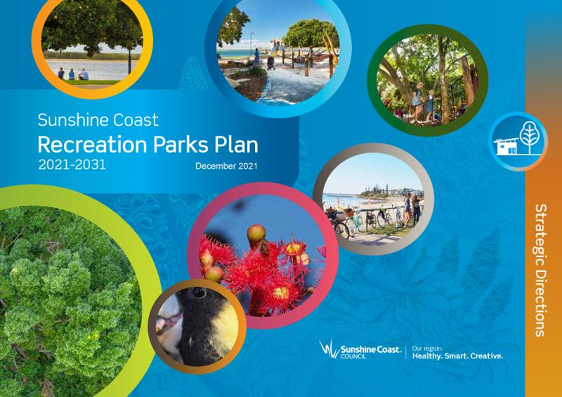
The RPP has been developed to reflect the policy positions set out in council’s Environment and Liveability Strategy 2017 (ELS), and provide the next level of detail. For example:
- Land allocated for stormwater treatment (for stormwater quality) must not impact park function.
- Where possible, stormwater treatment facilities should be integrated with planted areas.
Stormwater Management Strategy (2021)
Stormwater Mangement Strategy
The Stormwater Management Strategy is an overarching document outlining the requirements of the Sunshine Coast Regional Council to ensure protection of people and property, while minimising environmental impacts and managing stormwater runoff. It consists of 2 parts - Part A and Part B.
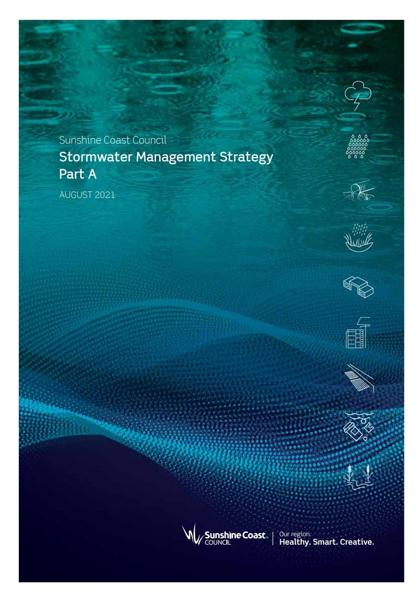
Stormwater management is the term used for planning, setting policy, implementing actions, and providing and managing stormwater infrastructure.
As stormwater runoff is conveyed over the landscape it becomes polluted with litter, sediment, nutrients, oils, chemicals and heavy metals. To protect the community and the environment, contaminated stormwater runoff needs to be intercepted and treated to remove pollutants, before it is discharged or reused
Complementary co-location of uses
Stormwater infrastructure and overland flow paths are often located in areas used for multiple purposes, such as parks, environmental reserves, roads and carparks. These multiple uses cannot be completely separated without adverse impacts on the existing community and environment.
Co-location and integration of uses needs to be understood and appropriately accommodated in a manner that is complementary and in doing so does not compromise any one use and ensures that safety, equity and amenity are maintained. If done well, the complementary co-location of uses can enhance the urban environment and improve the function of the stormwater network.
Council’s stormwater roles and responsibilities
- Stormwater services
- Flooding and stormwater policy and planning
- Environment and sustainability policy
- Asset management
- Civil asset management
- Parks and gardens
- Development services
- Strategic planning
- Customer response
- Environmental operations
- Project delivery
- Design and placemaking service
- Finance.
Desired standards of service: must ensure that sufficient safety and amenity are provided for the community.
Flooding and Stormwater Management Guidelines Version 1 (September 2020)
Flooding and stormwater management guidelines
The purpose of the Flooding and Stormwater Management Guidelines is to support the codes and policies of the Planning Scheme by providing additional details around key issues, such as future climate considerations.
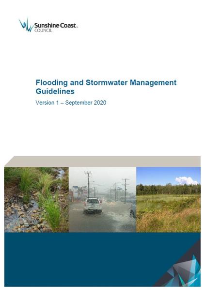
Future Climate Considerations
Assessments required by these guidelines are to be based on future climate (incorporating climate change allowances at year 2100). Adopt for estimation of design flood levels, assessment of flood risk, and infrastructure sizing/design including urban drainage design:
It is vital that land development occurs in ways which are sustainable and which preserve the quality of our waterways.
Guiding documents list
- Stormwater quality compliance approaches
- Open space integration (integration and co-location).
- Requirements for specific technologies
- Swales
- Bio-retention systems (including streetscapes)
- Wetlands
- Sediment basins
- Infiltration systems
- Sand filters
- Gross pollutant traps (GPTs)
- Gully pit (including baskets)
- Media filtration devices
- Emerging and proprietary technologies
- Designing for maintenance
- Construction-phase water quality.
During rainfall events, stormwater quantity management is essential in order to protect people and property, and to enhance amenity and convenience.
Development must not cause unacceptable impacts to infrastructure or property outside of the development. Unacceptable impacts to discharge includes the following:
- increased concentration
- change in location of discharge
- increased or decreased frequency
- changed duration
- changed volumes
- changes in peak discharge or water level
- changes in velocity.
The SC Planning Scheme provides the Flooding and Stormwater Management Guidelines with precedence over the QUDM. This has particular relevance to lawful point of discharge.
Proposals which seek to increase imperviousness in the catchment of high value waterways will be subject to considerable scrutiny.
in place of the QUDM Rational Method, Council have adopted the Council Rational Method documented in A Review of Simple Peak Flow Estimation Methods for use on the Sunshine Coast following the release of ARR 2016.
Detail on the design requirements for:
- Flood immunity
- Floodplain storage
- Acceptable and tolerable flood risk
- Acceptable and tolerable flood impacts
- Flood hazard assessment.
Appendix 4 Biopod Standard Details and Layouts
- BIO_001 Biopod Type 1 (Side Entry Pit)
- BIO-002 Biopod Type 2 (Field Inlet)
- BIO-003 Biopod Type 1 (Side Entry Pit)
- BIO-004 Biopod Example Layout 1 One-way Crossfall Access Street
- BIO-005 Biopod Example Layout 2 One-way Crossfall Access Place
- BIO-006 Biopod Example Layout 3 Centrally Crowned Access Street
- BIO-007 Biopod Example Layout 4 Centrally Crowned Access Place
- BIO-008 Roofwater Connection Typical Section.
Appendix 5 Bio-retention Standard Signs
- Raingarden & Bio-retention Signs.
Hazard Adaptation Strategy (CHAS)
Coastal Hazard Adaptation Strategy (CHAS)
The Coastal Hazard Adaptation Strategy (CHAS) is a risk and change management initiative to better prepare Council and the community to proactively respond to coastal hazards. This includes to mitigate and adapt to the social, cultural, economic, environmental risks associated with current and future coastal hazards.

Council's long-term strategic directions for managing the coast are outlined in the Environment and Liveability Strategy 2017 (ELS) and include a policy direction that "Coastal hazard risks are known and avoided or otherwise adequately addressed, forming part of long-term adaptation planning".
The strategy consists of 3 parts:
1. Part A – coastal hazard adaptation
2. Part B – coastal hazard maps and supporting information
3. Part C – five-year implementation plan.
The purpose of the Strategy is to:
- Identify coastal hazards, including erosion, storm tide and tidal inundation
- Inform decision making regarding the protection and management of our coast and foreshore
- Inform future land use planning
- Guide the management and/or location of public utilities and facilities
- Guide the management of areas of environmental and cultural significance
- Foster collaboration and the shared care of our coastal zone/estuarine areas.
The development of a Coastal Hazard Adaptation Strategy addresses a key Transformational Action of the ELS under the theme of "Being Prepared" which seeks to proactively plan for the potential impacts of climate change and natural hazards to build the resilience of the region.
The Coastal Hazard Adaptation Strategy is guided by the strategic directions of the Environment and Liveability Strategy, including the "coastal" and "adaptation and resilience" themes and associated policy positions.
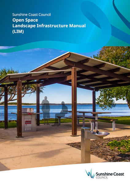
Open Space Landscape Infrastructure Manual (LIM)
Open Space Landscape Infrastructure Manual (LIM)
Once the location/requirements are decided, the LIM provides guidance for the design and delivery.
Open Space Landscape Infrastructure Manual (LIM)
text/html
This section of LIM WSUD should be read in conjunction with the following existing LIM categories (where required):
See LIM Fences and gates for further guidance on:
- Fencing around drains, water bodies and allowances for drainage lines and flows. Reference to LIM WSUD.
- Refers to QUDM.
See LIM Landscape drainage for further guidance on:
- Sub-surface or subsoil drainage system
- Field inlet and overflow gully
- Grated trench drain
- Open flow channel (swales)
- Culvert and pipe culvert overpass
- Stormwater quality management considerations
- Overland flow paths.
See LIM Planting (landscape) for further guidance on:
- Turf – can function as a vegetative strip which reduces water pollution
- Hydrological flows in relation to rock mulch application.
See LIM Planting palette for further guidance on:
- Bio-retention systems.
See LIM Paths, trails and tracks for further guidance on:
- Clearance areas – path width and permeability.
- Fire access trails - spoon drains with sediment catchment ponds in outflow areas (shallow channels to redirect excess water), also refers to LIM Landscape drainage.
- Drainage – refers to LIM Landscape drainage.
See LIM Signage suite for further guidance on:
- Interpretive signs - Bollard plaque (suitable use for Raingarden signs).
See LIM Site setup (including tree protection) for further guidance on:
- Planning for site setup
- Environmental protection – refers to prevention of sediment into waterways.
- Sustainability
- Tree and vegetation management.
See LIM Tree sensitive design (existing and new trees) for further guidance on:
Tree sensitive design principles (Existing trees)
- Elevated pathways
- Above grade pathways (no dig) - Permeable surface treatments for above grade pathways
Tree sensitive design principles (New trees)
- Artificial environments for tree roots
- Permeable surface treatments suitable for use
- Treatments to irrigate - passive irrigation - storm watered trees.
This component is currently in development